by Tiwari Academy Team
NCERT Solutions for Class 10 Geography Chapter 7 Lifelines of National Economy in Hindi and English Medium. Hindi Medium contents and solutions are available for the academic session 2026-27. Discussion forum is established to help the students in questionnaires. It is a platform to ask questions and express your views on the questions already asked.
NCERT Solutions for Class 10 Geography Chapter 7 in PDF
| Class: | 10 |
| Subject: | Social Science – Geography |
| Chapter 7: | Lifelines of National Economy |
| Academic Session: | 2026-27 |
Class 10 Geography Chapter 7 Lifelines of National Economy
NCERT Solutions for Class 10 Geography Chapter 7 in PDF form is given here to download free. Contents and Apps are updated for academic session 2026-27 based on new NCERT Books and following the latest CBSE Syllabus. You can ask your doubts in Discussion Forum free and share your knowledge also with the other users.
Download App for Class 10


Exatra Questions Class 10 Geography Chapter 7
What are Means of Transport?
Means of transports which make possible the movement of goods, services and humans/animals from one place to another place.
What are the advantages of Roadways over Railways?
The advantages of Roadways over Railways are as follows:
Construction cost is much lower.
Can be laid anywhere such as on slopes, mountains.
Economical in transportation of few persons and relatively smaller amount of goods over short distance.
Provides door to door service, thus cost of loading and unloading is much lower.
Feeder to other models of transport as they provide a link between railway stations, air and sea ports.
What are the advantages of Air transport?
(i) It is fastest among all. Take lesser time to reach one place to another.
(ii) It is a most comfortable.
(iii) It’s prestigious mode of transport.
(iv) It can cover very difficult terrains like high mountains, dreary deserts, dense forests and also long oceanic stretches with great ease.
(v) On the border, to maintain the force and to provide them food and ration at earliest.
What do know about Golden Quadrilateral?
The six lane superhighways which being implemented by National Highway Authority of India(NHAI) and connects Delhi, Mumbai, Kolkata and Chennai (the four metro cities) is known as Golden Quadrilateral.
What are the features of Golden Quadrilateral super highways?
The features of Golden Quadrilateral super highways are given below:
(i) It’s a six lane super highways.
(ii) It links the mega cities of India i.e. Delhi-Kolkata-Chennai-Mumbai and Delhi.
(iii) It reduces the time and distance between the mega cities of India.
(iv) It is under the NHAI.
(v) it’s a major road development project of our country
How is the tourism being helpful in the development of economy as a trade or industry?
(i) Tourism in India has grown substantially over the last three decades.
(ii) More than 15 million (150 lakhs) people are directly engaged in this industry.
(iii) Tourism also promotes national integration.
(iv) It also helps in the development of international understanding about our culture and heritage.
(v) It also provide support to local handicrafts and cultural pursuits.
(vi) It contributes significantly in earning foreign exchange.
What does pipeline transport mean?
A new means of transport. A new arrival on the transportation map of India. Through which water is transported to houses and farms, and crude oil, petrol products and natural gas transported to gas refineries and thermal power stations.
Why the transport and means of communication are called the lifelines of an economy?
i) The trade, transport and communication are complementary to each other.
ii) Connects the far reaching areas of the country and the world
iii) Encourage the national and international tourism.
iv) Brings foreign exchange.
v) Life gets comfortable and easy.
vi) The whole country unites in emergency.
How many types of Roads are there according to their capacity?
Six types of Roads according to their capacity are as follows:
Golden quadrilateral: Links Delhi, Kolkata, Mumbai, Chennai
National highways: Link extreme parts of the country.
State highways: Link state capital with district headquarters.
District roads: Connect district headquarters with other places of district.
Other roads: Rural roads, which link villages importance
Border roads: Link places of strategic more than border in northeast and northern border areas.
What are the major challenges of road transport?
(i) Almost half of the roads go out of use in the rainy season.
(ii) Roads are insufficient in compare to transport and commuters.
(iii) Roads are narrow and crowded due to the increasing number of vehicles.
(iv) It leads to traffic jams and road rage.
(v) Even National highways are insufficient.
Important Terms on Class 10 Geography Chapter 7
Border Roads: Border Roads Organisation a Government of India undertaking constructs and maintains roads in the bordering areas of the country. These roads are border roads and improve the accessibility in areas of difficult terrain.
National Highways: Four to six lane highways which connects or link extreme parts of the country and maintained by Central Public Works Department (CPWD).
Balance of Trade: The balance of trade of a country is the difference between its export and import.
Port: The manmade place or facility near the sea cost where ships, boats and barges can be docked to load unload people, things etc. Fuel and other needs can also be taken here. A port is different than a harbor.
New forms of Tourism: Heritage tourism, eco-tourism, adventure tourism, cultural tourism, medical tourism and business tourism. Over 2.6 million foreign tourists visit India every year.
Tidal Port: A port in which the water level within the port is subject to change with the ocean tides. These ports are found in coastal region. e.g. Kandla.
One Mark Questions with Answers
1. Which sea port is the major port in context to the export of Iron ore?
2. Which two stations are linked by East-West corridor?
3. Which authority certifies both Indian foreign films?
4. When and where did the first train start running in India?
5. What do you understand by the road density?
6. Which is the first port developed after the independence.
7. In which area of India the air transport has been provided to common people as a special provision?
8. Between which two place national waterways no.1 is navigable? How long it is?
9. Which two cities are connecting through NH-1?
10. Which state has highest and lowest road density respectively?
11. Mention the two components of international trade.
12. Which is the longest national highway?
13. Apart from Hindi list out 2 languages in which the largest no of newspaper are published.
14. Give two examples of first class mail.
Answers of 1 Mark Questions
1. Marmagao.
2. Silchar (Assam) to Porbandar(Gujarat)
3. Central board of film certification
4. On 16 April,1853 between Mumbai to Thane(34 km.)
5. The length of road per hundred sq. km. of area is known as density of roads.
6. Kandla Port.
7. In North eastern states.
8. Between Allahabad and Haldia (1620 km long).
9. Delhi and Amritsar
10. Highest-Kerala, lowest-Jammu and Kashmir
11. Exports and Imports
12. NH-7 Connecting Varanshi and Kanyakumari
13. English and Urdu
14. Cards and Envelops.
Important Questions on Class 10 Geography Chapter 7
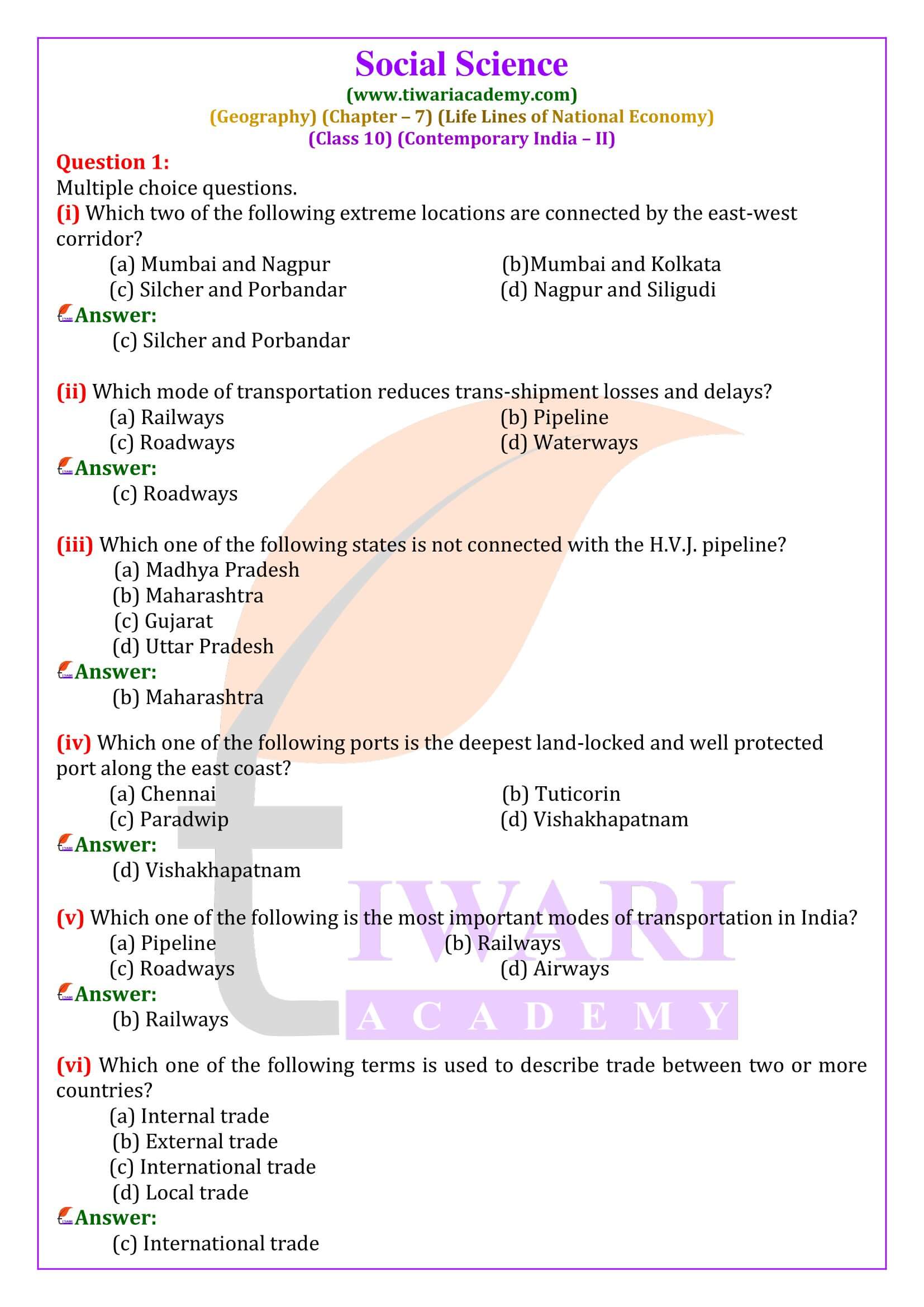
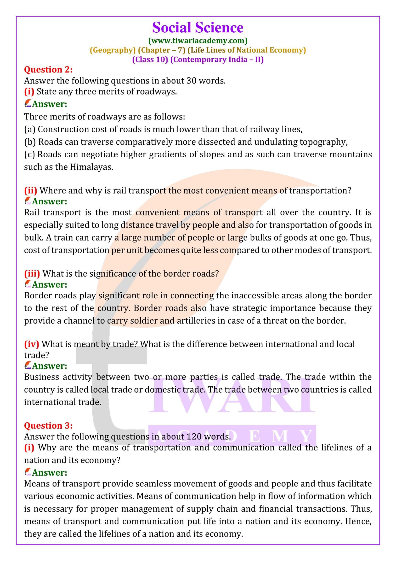
State any three merits of roadways.
Three merits of roadways are as follows: (a) Construction cost of roads is much lower than that of railway lines, (b) Roads can traverse comparatively more dissected and undulating topography, (c) Roads can negotiate higher gradients of slopes and as such can traverse mountains such as the Himalayas.
Where and why is rail transport the most convenient means of transportation?
Rail transport is the most convenient means of transport all over the country. It is especially suited to long distance travel by people and also for transportation of goods in bulk. A train can carry a large number of people or large bulks of goods at one go. Thus, cost of transportation per unit becomes quite less compared to other modes of transport.
What is the significance of the border roads?
Border roads play significant role in connecting the inaccessible areas along the border to the rest of the country. Border roads also have strategic importance because they provide a channel to carry soldier and artilleries in case of a threat on the border.
What is meant by trade? What is the difference between international and local trade?
Business activity between two or more parties is called trade. The trade within the country is called local trade or domestic trade. The trade between two countries is called international trade.
Why are the means of transportation and communication called the lifelines of a nation and its economy?
Means of transport provide seamless movement of goods and people and thus facilitate various economic activities. Means of communication help in flow of information which is necessary for proper management of supply chain and financial transactions. Thus, means of transport and communication put life into a nation and its economy. Hence, they are called the lifelines of a nation and its economy.
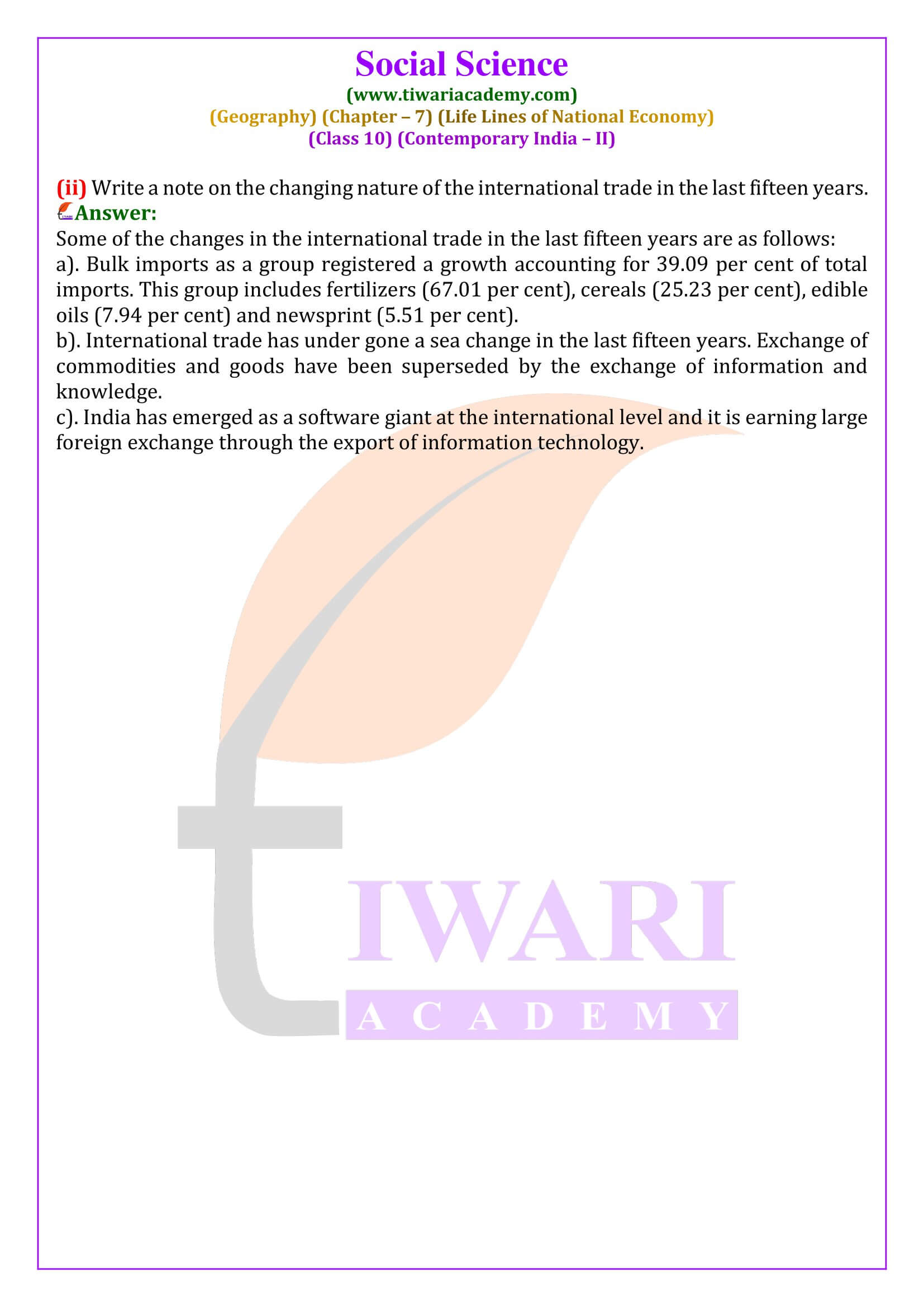
Write a note on the changing nature of the international trade in the last fifteen years.
Some of the changes in the international trade in the last fifteen years are as follows: a). Bulk imports as a group registered a growth accounting for 39.09 per cent of total imports. This group includes fertilizers (67.01 per cent), cereals (25.23 per cent), edible oils (7.94 per cent) and newsprint (5.51 per cent). b). International trade has under gone a sea change in the last fifteen years. Exchange of commodities and goods have been superseded by the exchange of information and knowledge. c). India has emerged as a software giant at the international level and it is earning large foreign exchange through the export of information technology.